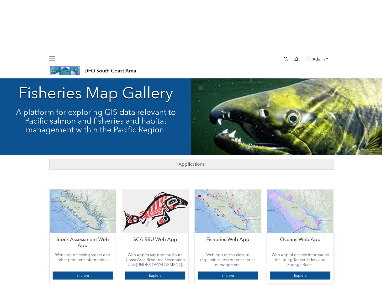
CRM developed an interactive Data Atlas platform to explore relevant GIS data to Pacific salmon and fisheries and habitat management within the Pacific Region. The purpose of the platform is to incorporate and house historical and up-to-date data concerning salmon escapement and salmon habitat, as well as monitoring and assessment of impacts to fish and fish habitat in key river systems in a specific region. This involved an inventory of historical salmon escapement data including raw data and field notes with observations concerning river morphology and anatomy, salmon spawning, and local names for pools and other features used by salmon escapement surveyors, as well as anecdotal information and photos gathered during post-season escapement meetings and workshops.
The platform showcases web mapping applications, dashboards, a PDF library to explore charts, maps and salmon escapement reports, and the ability to explore individual datasets and view metadata. Although the site is publicly available, many applications are secured to limit access to research staff only.