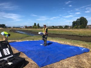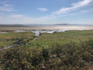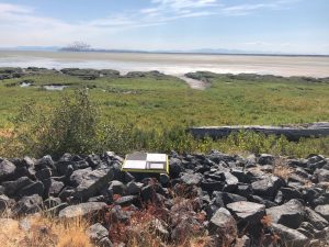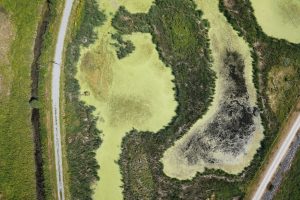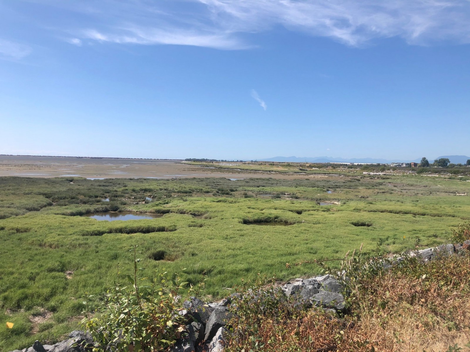
In conjunction with the Port of Vancouver, Coastal Resource Mapping (CRM) collaborated with Tsawwassen First Nations (TFN) to perform a survey to delineate vegetation species composition at different elevation bands on marshlands within their territory. CRM’s job was to coordinate a drone survey to capture a high-resolution colour orthophoto in a timely manner that met the needs of their project.
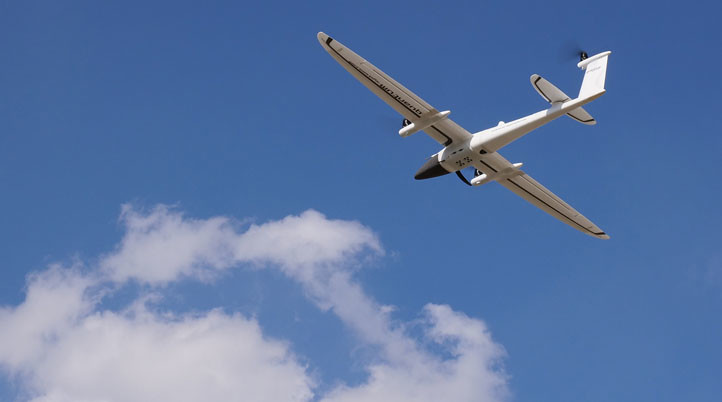
This project required the experience and capabilities of Coastal Resource Mapping’s pilots and Quantum Systems Trinity F90+ drone to successfully cover a large, 220+ acre area during a key low tide period to maximize vegetation exposure. A strategic flight plan and the 42-megapixel RGB payload with survey-grade accuracy provided the detail TFN needed to perform their vegetation analysis.
Coastal Resource Mapping is proud to support First Nation communities and Indigenous people for over 15 years, building capacity in the GIS and drone technology space.