It’s no secret drones are a cost-effective option for the remote acquisition of high resolution-aerial imagery and multispectral and thermal data. As an outsourced drone services company, Coastal Resource Mapping (CRM) is fully insured for drone operations and is certified with a standing Special Flight Operations Certificate (SFOC).
Our UAV operators perform drone-based GIS mapping services anywhere in the Pacific Region, without the need for Transport Canada permission, and are ready to fly at a moment’s notice. See our Drones here.
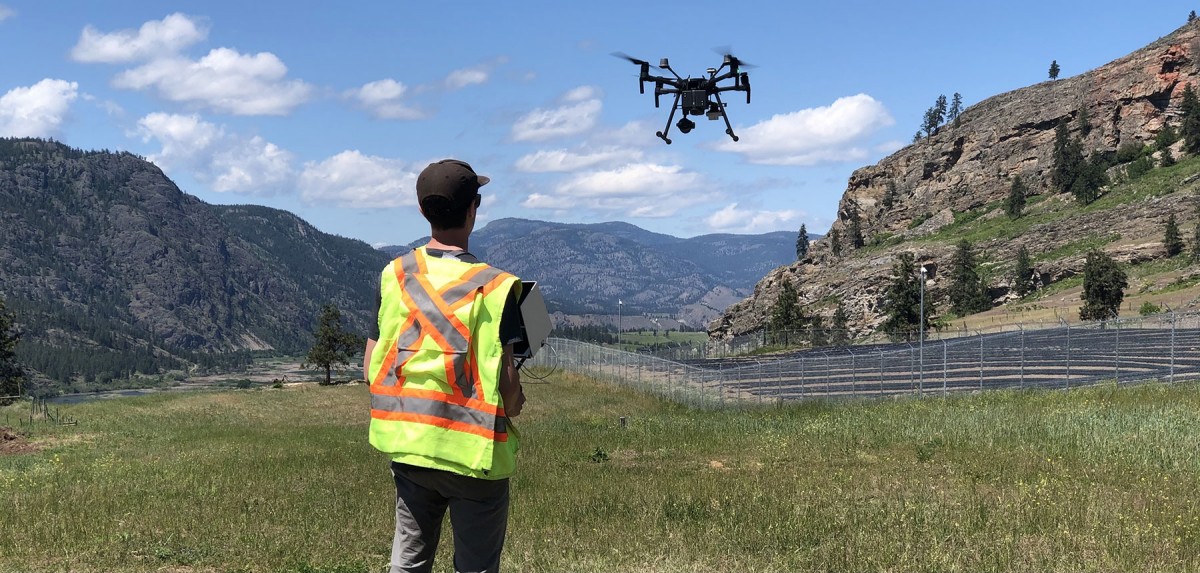
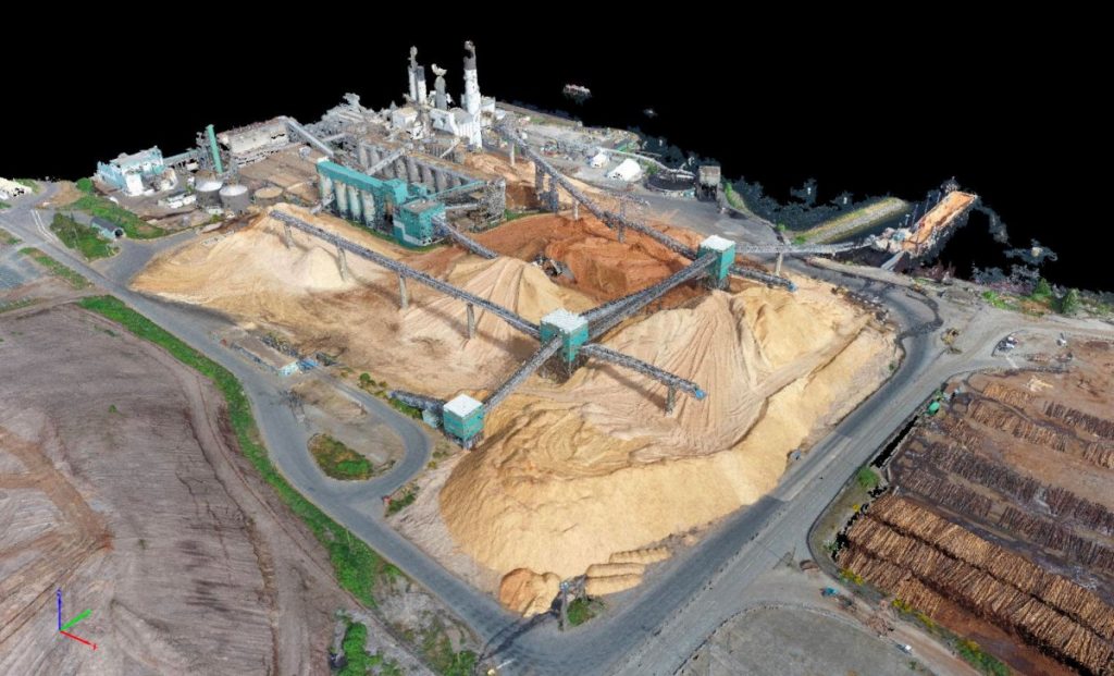
Our survey-grade (CM accuracy) drone data collection methods deliver photogrammetric imagery to provide accurate situational awareness. This data can be integrated into any GIS platform or survey CAD application for further analysis and reporting.
With this information, we can produce interactive 3D models for further insight, including volumetric reports, to help you make accurate, data-drive decisions.
At CRM, we employ the most advanced aerial technologies to capture high-resolution images and videos for industries across North America in need of expert geospatial solutions. Some of the drone services we provide, but are not limited to, include:
- Aerial Survey
- 5K Video
- Topographic Survey
- 3D Modeling
- Thermal Data
- Orthophotography
- Volumetric Analysis
- And more